2023
Moscow
The work continues the series of collage works by Igor Ponosov “Imagined Journey”, which is based on parts of geographical maps. But this time the “imagional” is constructed from multi-format “ready-made objects” — maps, coins and glass, focusing on the identity of the place.
The artist’s map of the Bering Strait was compiled by the US Department of Commerce in 1984. It represents a detailed rendering of the territory of Alaska and a white spot, conventionally indicating the territory of the USSR/Russia. The state border runs between the Diomede Islands, one of which belongs to Russia and the other to the United States. The proximity of these islands to each other (≈ 4 km) seems illusory, while the International Date Line runs between them with a time difference of 21 hours. The islands owe this paradox to the appearance of their unofficial names — “Yesterday” (Sunday) and “Tomorrow” (Monday). Thus, only 4 kilometers separate one country from another, and the past from the future.
The card is complemented by a commemorative coin with a face value of 1 ruble and, accordingly, 1 cent, which today turned out to be almost equivalent at the official exchange rate. The coin, issued in 2015 by Russia and the USA, contains an image of the Diomede Islands and is installed exactly in the place where the islands are located on the map. The artist’s use of the coin emphasizes the symbolism of its issue: in 1867, the territory of Alaska was sold by the Russian Empire to the United States — this territory became a bargaining chip in Russian-American relations, and the Diomede Islands became the closest point of contact between two powers that are geographically close, but out of sync in time.

70 x 61 cm, map of the Bering Strait, commemorative coin, wooden frame, plexiglass.
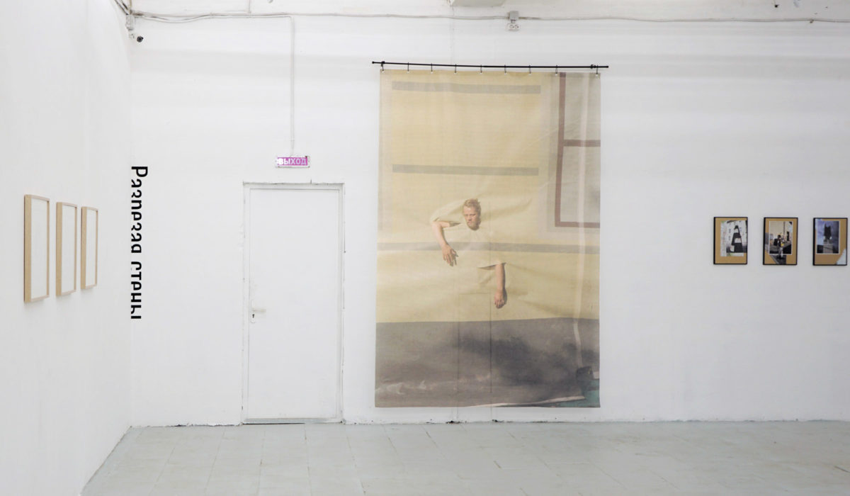
In 2023 was presented at the Smena Cultural Center in Kazan in frame of travel group show titled The Archipelago of Dreams (curated by Sergey Guskov). The Project was on display: at the ZIM Gallery, Samara (2023), at the Sinara Art Gallery, Yekaterinburg (2023), at the Elohovskiy Gallery, Moscow (2024). Stored in private collection.